
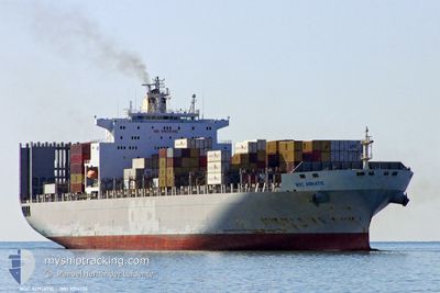
GSL MELITA
Container Ship
Current Trip
| Time Travelled | 14 days |
|---|---|
| Remaining Time | --- |
| Distance Travelled | 4392.77 nm |
| Remaining Distance | 32.74 nm |
| AVG Speed | 13.1 Knopen |
| MAX Speed | 21.5 Knopen |
| AVG Wind | 12.7 knots |
| MAX Wind | 22 knots |
| MIN Temp | 12.4°C / 54.32°F |
| MAX Temp | 30.1°C / 86.18°F |
| Diepgang | 12.2 M |
| Positie ontvangen | 13 d geleden |
Current Position
| Lengtegraad | 153.23303° |
|---|---|
| Breedtegraat | -26.65873° |
| Status | Constrained by her draught |
| Snelheid | 12.6 Knopen |
| Koers | 40.1° |
| Gebied | Coral Sea |
| Station | T-AIS |
| Positie ontvangen | 13 d geleden |
Info
Information
The current position of GSL MELITA is in Coral Sea with coordinates -26.65873° / 153.23303° as reported on 2024-04-11 13:52 by AIS to our vessel tracker app. The vessel's current speed is 12.6 Knopen and is heading at the port of QINGDAO. The estimated time of arrival as calculated by MyShipTracking vessel tracking app is 2024-04-26 12:00 LT
The vessel GSL MELITA (IMO: 9214226, MMSI: 636020774) is a Container Ship that was built in 2001 ( 23 Jaar oud ). It's sailing under the flag of [LR] Liberia.
In this page you can find informations about the vessels current position, last detected port calls, and current voyage information. If the vessels is not in coverage by AIS you will find the latest position.
The current position of GSL MELITA is detected by our AIS receivers and we are not responsible for the reliability of the data. The last position was recorded while the vessel was in Coverage by the Ais receivers of our vessel tracking app.
The current draught of GSL MELITA as reported by AIS is 12.2 meters
Weather
| Temperature | 13.2°C / 55.76°F |
|---|---|
| Wind Speed | 16 knots |
| Direction | 169° S |
| Pressure | 1010 hPa |
| Humidity | 78.5 % |
| Cloud Coverage | 100 % |
Featured Company
Last Port Calls
| Port | Arrival | Departure | Time In Port |
|---|---|---|---|
| 2024-04-09 03:38 | 2024-04-11 10:16 | 2 d | |
| 2024-04-04 17:39 | 2024-04-06 14:27 | 1 d | |
| 2024-03-31 09:11 | 2024-04-02 15:49 | 2 d | |
| 2024-03-18 09:46 | 2024-03-18 23:46 | 13 h | |
| 2024-03-17 03:04 | 2024-03-17 20:34 | 17 h | |
| 2024-03-08 09:55 | |||
| 2024-02-22 19:45 | 2024-02-24 14:40 | 1 d | |
| 2024-02-16 18:18 | 2024-02-18 21:50 | 2 d | |
| 2024-02-11 16:50 | 2024-02-15 03:26 | 3 d |
Last Trips
| Origin | Departure | Destination | Arrival | Distance | |
|---|---|---|---|---|---|
| 2024-04-07 01:27 | 2024-04-09 13:38 | 1121.58 nm | |||
| 2024-04-03 02:49 | 2024-04-05 04:39 | 582.93 nm | |||
| 2024-03-19 07:46 | 2024-03-31 20:11 | 4511.83 nm | |||
| 2024-03-18 04:34 | 2024-03-18 17:46 | 73.05 nm | |||
| 2024-03-08 17:55 | 2024-03-17 11:04 | 1608.10 nm | |||
| 2024-02-19 08:50 | 2024-02-23 05:45 | 1117.96 nm | |||
| 2024-02-15 14:26 | 2024-02-17 05:18 | 583.35 nm | |||
| 2024-01-31 07:45 | 2024-02-12 03:50 | 4565.40 nm |
Events
| Tijd | Evenement | Details | Positie / Bestemming | Info |
|---|---|---|---|---|
| 2024-04-25 06:08 | Stop beweging |
35.76798 / 120.94589
CNTAO
|
Snelheid: 0.3 kn Koers: 154° |
|
| 2024-04-15 23:55 | Start beweging |
-6.49667 / 148.48833
CNTAO
|
Snelheid: 4 kn Koers: -1° |
|
| 2024-04-15 23:40 | Stop beweging |
-6.49500 / 148.49167
CNTAO
|
Snelheid: Koers: -1° |