
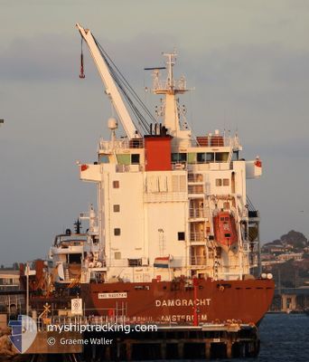
DAMGRACHT
General Cargo
Current Trip
| Time Travelled | 2 days |
|---|---|
| Remaining Time | 2 days |
| Distance Travelled | 859.68 nm |
| Remaining Distance | 978.05 nm |
| AVG Speed | 10.7 Knopen |
| MAX Speed | 15.6 Knopen |
| AVG Wind | 6.9 knots |
| MAX Wind | 13 knots |
| MIN Temp | 27.9°C / 82.22°F |
| MAX Temp | 29.9°C / 85.82°F |
| Diepgang | 10.4 M |
| Positie ontvangen | 6 h, 47 m geleden |
Current Position
| Lengtegraad | 112.98860° |
|---|---|
| Breedtegraat | -5.65505° |
| Status | Under way using engine |
| Snelheid | 14.7 Knopen |
| Koers | 118.1° |
| Gebied | Java Sea |
| Station | T-AIS |
| Positie ontvangen | 6 h, 47 m geleden |
Info
Information
The current position of DAMGRACHT is in Java Sea with coordinates -5.65505° / 112.98860° as reported on 2024-04-19 16:51 by AIS to our vessel tracker app. The vessel's current speed is 14.7 Knopen and is heading at the port of DAMPIER. The estimated time of arrival as calculated by MyShipTracking vessel tracking app is 2024-04-22 13:39 LT
The vessel DAMGRACHT (IMO: 9420784, MMSI: 245955000) is a General Cargo that was built in 2009 ( 15 Jaar oud ). It's sailing under the flag of [NL] Netherlands.
In this page you can find informations about the vessels current position, last detected port calls, and current voyage information. If the vessels is not in coverage by AIS you will find the latest position.
The current position of DAMGRACHT is detected by our AIS receivers and we are not responsible for the reliability of the data. The last position was recorded while the vessel was in Coverage by the Ais receivers of our vessel tracking app.
The current draught of DAMGRACHT as reported by AIS is 10.4 meters
Weather
| Temperature | 29.4°C / 84.92°F |
|---|---|
| Wind Speed | 12 knots |
| Direction | 114° ESE |
| Pressure | 1008 hPa |
| Humidity | 74.4 % |
| Cloud Coverage | 83 % |
Featured Company
Events
| Tijd | Evenement | Details | Positie / Bestemming | Info |
|---|---|---|---|---|
| 2024-04-19 16:57 | Status Changed | Default Under way using engine |
-5.66500 / 113.00833
AUDAM
|
Snelheid: 14.7 kn Koers: 118.1° |
| 2024-04-19 16:51 | Buitenbereik |
-5.65505 / 112.98860
Java Sea
AUDAM
|
Snelheid: 14.7 kn Koers: 118.1° |
|
| 2024-04-19 16:48 | Wijzig zee gebeid | Indonesian part of the Java Sea Malaysian part of the Singapore Strait |
-5.64949 / 112.97819
Java Sea
AUDAM
|
Snelheid: 14.7 kn Koers: 119.1° |
| 2024-04-19 16:48 | Status Changed | Under way using engine Default |
-5.64949 / 112.97819
AUDAM
|
Snelheid: 14 kn Koers: 117° |
| 2024-04-19 16:33 | Binnenbereik |
-5.64949 / 112.97819
Java Sea
AUDAM
|
Snelheid: 14.7 kn Koers: 119.1° |
|
| 2024-04-17 18:01 | Status Changed | Default Under way using engine |
1.28855 / 104.34112
AUDAM
|
Snelheid: 13.9 kn Koers: 93.7° |
| 2024-04-17 17:54 | Buitenbereik |
1.28284 / 104.31758
Singapore Strait
AUDAM
|
Snelheid: 13.9 kn Koers: 93.7° |
|
| 2024-04-17 17:53 | Status Changed | Under way using engine Default |
1.28327 / 104.31140
AUDAM
|
Snelheid: 14.2 kn Koers: 74° |
| 2024-04-17 17:49 | Status Changed | Default Under way using engine |
1.28026 / 104.29665
AUDAM
|
Snelheid: 14.1 kn Koers: 81.3° |
| 2024-04-17 17:11 | Wijzig zee gebeid | Malaysian part of the Singapore Strait Indonesian part of the Singapore Strait |
1.26165 / 104.14883
Singapore Strait
AUDAM
|
Snelheid: 14.1 kn Koers: 82.7° |