
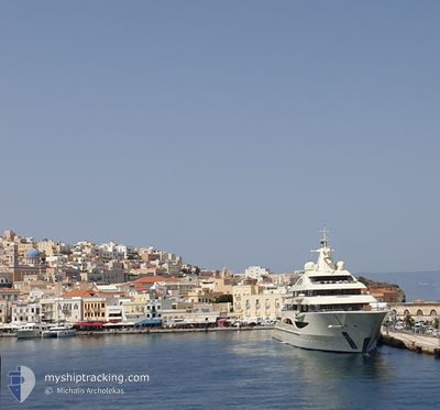
ALAIYA
Pleasure Craft
Current Trip
| Time Travelled | --- |
|---|---|
| Remaining Time | --- |
| Distance Travelled | 1240.14 nm |
| Remaining Distance | --- |
| AVG Speed | 13.6 Noeuds |
| MAX Speed | 16.5 Noeuds |
| AVG Wind | 4.4 knots |
| MAX Wind | 10 knots |
| MIN Temp | 16.9°C / 62.42°F |
| MAX Temp | 28°C / 82.4°F |
| Tirant d eau | 4.3 m |
| Position reçue | 1 d depuis |
Current Position
| Longitude | 31.09790° |
|---|---|
| Latitude | -29.81962° |
| Etat | Under way using engine |
| Vitesse | 6.1 Noeuds |
| Parcours | 185° |
| Zone | Indian Ocean |
| Station | T-AIS |
| Position reçue | 1 d depuis |
Info
Information
The current position of ALAIYA is in Indian Ocean with coordinates -29.81962° / 31.09790° as reported on 2024-04-23 09:29 by AIS to our vessel tracker app. The vessel's current speed is 6.1 Noeuds
The vessel ALAIYA (IMO: 1013016, MMSI: 319165800) is a Pleasure Craft It's sailing under the flag of [KY] Cayman Is.
In this page you can find informations about the vessels current position, last detected port calls, and current voyage information. If the vessels is not in coverage by AIS you will find the latest position.
The current position of ALAIYA is detected by our AIS receivers and we are not responsible for the reliability of the data. The last position was recorded while the vessel was in Coverage by the Ais receivers of our vessel tracking app.
The current draught of ALAIYA as reported by AIS is 4.3 meters
Weather
| Temperature | 22.9°C / 73.22°F |
|---|---|
| Wind Speed | 4 knots |
| Direction | 162° SSE |
| Pressure | 1018.5 hPa |
| Humidity | 77.7 % |
| Cloud Coverage | 100 % |
Featured Company
Last Port Calls
Last Trips
| Origin | Departure | Destination | Arrival | Distance |
|---|
Events
| Heure | Evenement | Détails | Position/ Destination | Info |
|---|---|---|---|---|
| 2024-04-23 09:29 | Hors de la zone couverte |
-29.81962 / 31.09790
Indian Ocean
|
Vitesse: 6.1 kn Parcours: 185° |
|
| 2024-04-23 09:25 | Démarrage | 5.39 nm, North East of DURBAN |
-29.81392 / 31.09760
DURBAN
|
Vitesse: 3.5 kn Parcours: 173° |
| 2024-04-23 08:56 | Arret | 5.43 nm, North East of DURBAN |
-29.81205 / 31.09652
DURBAN
|
Vitesse: 0.2 kn Parcours: 175° |
| 2024-04-23 08:36 | Démarrage | 5.59 nm, North East of DURBAN |
-29.83002 / 31.11713
DURBAN
|
Vitesse: 3.2 kn Parcours: 319° |
| 2024-04-23 08:12 | Arret | 5.42 nm, North East of DURBAN |
-29.83162 / 31.11457
DURBAN
|
Vitesse: 0.3 kn Parcours: 151° |
| 2024-04-23 07:17 | Changement de destination | DURBAN CRUISING SEYCHELLES |
-29.78848 / 31.23945
DURBAN
|
Vitesse: 12.4 kn Parcours: 254.2° |
| 2024-04-23 06:56 | Changement de zone | South African part of the Indian Ocean Seychellois part of the Indian Ocean |
-29.76772 / 31.31855
Indian Ocean
|
Vitesse: 12.4 kn Parcours: 240.8° |
| 2024-04-23 06:56 | Dans la zone couverte |
-29.76772 / 31.31855
Indian Ocean
|
Vitesse: 12.4 kn Parcours: 240.8° |