
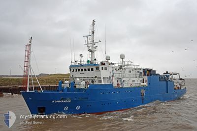
KOMMANDOR
Offshore Supply Ship
Current Trip
SURVEY SITE
| Time Travelled | 2 days |
|---|---|
| Remaining Time | --- |
| Distance Travelled | 87.51 nm |
| Remaining Distance | --- |
| AVG Speed | 4.3 Noeuds |
| MAX Speed | 8.4 Noeuds |
| AVG Wind | 22.6 knots |
| MAX Wind | 27.6 knots |
| MIN Temp | 6.5°C / 43.7°F |
| MAX Temp | 9.2°C / 48.56°F |
| Tirant d eau | 5 m |
| Position reçue | 5 h, 58 m depuis |
Current Position
| Longitude | -3.45318° |
|---|---|
| Latitude | 53.89681° |
| Etat | Under way using engine |
| Vitesse | 1.8 Noeuds |
| Parcours | 307° |
| Zone | Irish Sea and St. George's Channel |
| Station | T-AIS |
| Position reçue | 5 h, 58 m depuis |
Info
Information
The current position of KOMMANDOR is in Irish Sea and St. George's Channel with coordinates 53.89681° / -3.45318° as reported on 2024-04-18 15:38 by AIS to our vessel tracker app. The vessel's current speed is 1.8 Noeuds
The vessel KOMMANDOR (IMO: 8517205, MMSI: 232013164) is a Offshore Supply Ship that was built in 1986 ( 38 Age ). It's sailing under the flag of [GB] United Kingdom.
In this page you can find informations about the vessels current position, last detected port calls, and current voyage information. If the vessels is not in coverage by AIS you will find the latest position.
The current position of KOMMANDOR is detected by our AIS receivers and we are not responsible for the reliability of the data. The last position was recorded while the vessel was in Coverage by the Ais receivers of our vessel tracking app.
The current draught of KOMMANDOR as reported by AIS is 5 meters
Weather
| Temperature | 8.7°C / 47.66°F |
|---|---|
| Wind Speed | 27 knots |
| Direction | 250° WSW |
| Pressure | 1018.1 hPa |
| Humidity | 93.8 % |
| Cloud Coverage | 100 % |
Featured Company
Events
| Heure | Evenement | Détails | Position/ Destination | Info |
|---|---|---|---|---|
| 2024-04-18 15:38 | Hors de la zone couverte |
53.89681 / -3.45318
Irish Sea and St. George's Channel
|
Vitesse: 1.8 kn Parcours: 28.2° |
|
| 2024-04-18 15:36 | Dans la zone couverte |
53.89681 / -3.45318
Irish Sea and St. George's Channel
|
Vitesse: 1.8 kn Parcours: 28.2° |
|
| 2024-04-18 11:22 | Hors de la zone couverte |
53.95325 / -3.35303
Irish Sea and St. George's Channel
|
Vitesse: 0.7 kn Parcours: 106.8° |
|
| 2024-04-18 11:22 | Etat Changé | Under way using engine Restricted manoeuverability |
53.95325 / -3.35303
SURVEY SITE
|
Vitesse: 0.6 kn Parcours: 141° |
| 2024-04-18 11:08 | Dans la zone couverte |
53.95115 / -3.35553
Irish Sea and St. George's Channel
|
Vitesse: 0.5 kn Parcours: 33.7° |
|
| 2024-04-18 08:49 | Hors de la zone couverte |
53.95064 / -3.35980
Irish Sea and St. George's Channel
|
Vitesse: 0.8 kn Parcours: 115.1° |
|
| 2024-04-18 06:21 | Dans la zone couverte |
53.94733 / -3.38073
Irish Sea and St. George's Channel
|
Vitesse: 4.3 kn Parcours: 127.3° |
|
| 2024-04-18 04:47 | Hors de la zone couverte |
53.94440 / -3.37396
Irish Sea and St. George's Channel
|
Vitesse: 3.9 kn Parcours: 348.6° |
|
| 2024-04-18 04:46 | Dans la zone couverte |
53.94386 / -3.37377
Irish Sea and St. George's Channel
|
Vitesse: 3.8 kn Parcours: 348.9° |
|
| 2024-04-18 03:41 | Hors de la zone couverte |
53.89071 / -3.44174
Irish Sea and St. George's Channel
|
Vitesse: 4.1 kn Parcours: 97.5° |