
BRISTOL
Trawler
Current Trip
| Trip Time | 4 days |
|---|---|
| Trip Distance | 421.22 nm |
| AVG Speed | 8.8 Noeuds |
| MAX Speed | 11.3 Noeuds |
| Tirant d eau | 6.7 m |
| AVG Wind | 17.4 knots |
| MAX Wind | 26.9 knots |
| MIN Temp | 4.5°C / 40.1°F |
| MAX Temp | 7.2°C / 44.96°F |
| Position reçue | 3 m depuis |
Current Position
| Longitude | 8.22334° |
|---|---|
| Latitude | 56.70121° |
| Etat | Moored |
| Vitesse | |
| Parcours | 232° |
| Zone | North Sea |
| Station | T-AIS |
| Position reçue | 3 m depuis |
Info
Information
The current position of BRISTOL is in North Sea with coordinates 56.70121° / 8.22334° as reported on 2024-04-25 06:50 by AIS to our vessel tracker app. The vessel's current speed is 0 Noeuds and is currently inside the port of THYBORON.
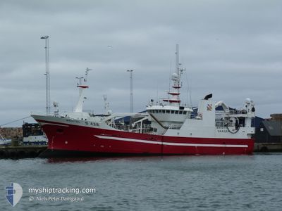
The vessel BRISTOL (IMO: 9160322, MMSI: 219022326) is a Trawler that was built in 1997 ( 27 Age ). It's sailing under the flag of [DK] Denmark.
In this page you can find informations about the vessels current position, last detected port calls, and current voyage information. If the vessels is not in coverage by AIS you will find the latest position.
The current position of BRISTOL is detected by our AIS receivers and we are not responsible for the reliability of the data. The last position was recorded while the vessel was in Coverage by the Ais receivers of our vessel tracking app.
The current draught of BRISTOL as reported by AIS is 6.7 meters
Weather
| Temperature | 4.1°C / 39.38°F |
|---|---|
| Wind Speed | 4 knots |
| Direction | 58° ENE |
| Pressure | 1003.7 hPa |
| Humidity | 87.6 % |
| Cloud Coverage | 100 % |
Featured Company
Last Trips
| Origin | Departure | Destination | Arrival | Distance | |
|---|---|---|---|---|---|
| 2024-04-19 19:20 | 2024-04-24 04:01 | 421.22 nm | |||
| 2024-04-07 23:00 | 2024-04-12 05:05 | 565.34 nm | |||
| 2024-03-22 18:41 | 2024-04-07 20:54 | 78.82 nm | |||
| 2024-03-15 15:04 | 2024-03-22 10:45 | 78.92 nm | |||
| 2024-02-22 11:38 | 2024-03-14 23:09 | 79.01 nm |
Events
| Heure | Evenement | Détails | Position/ Destination | Info |
|---|---|---|---|---|
| 2024-04-24 02:14 | Etat Changé | Moored Under way using engine |
56.70122 / 8.22335
[DK] THYBORON
|
Vitesse: Parcours: 232° |
| 2024-04-24 02:07 | Arret |
56.70102 / 8.22354
[DK] THYBORON
|
Vitesse: 0.3 kn Parcours: 218° |
|
| 2024-04-24 02:01 | Port d'arrivée |
|
56.70017 / 8.22591
[DK] THYBORON
|
Vitesse: 3.9 kn Parcours: 240° |
| 2024-04-24 01:34 | Changement de destination | NORTH SEA JULEFERIE |
56.70994 / 8.17692
NORTH SEA
|
Vitesse: 7.1 kn Parcours: 78.8° |
| 2024-04-24 01:28 | Etat Changé | Under way using engine Engaged in Fishing |
56.70758 / 8.15623
JULEFERIE
|
Vitesse: 6.9 kn Parcours: 79.8° |
| 2024-04-24 01:27 | Changement de destination | JULEFERIE FISHING MIN CPA 0.7 |
56.70749 / 8.15514
JULEFERIE
|
Vitesse: 6.9 kn Parcours: 79.8° |
| 2024-04-23 21:36 | Dans la zone couverte |
56.60496 / 7.34314
North Sea
|
Vitesse: 6.5 kn Parcours: 78.7° |
|
| 2024-04-23 09:11 | Hors de la zone couverte |
56.12425 / 5.00377
North Sea
|
Vitesse: 3.8 kn Parcours: 0.2° |
|
| 2024-04-23 08:43 | Dans la zone couverte |
56.09614 / 5.00138
North Sea
|
Vitesse: 3.8 kn Parcours: 1.3° |
|
| 2024-04-23 04:16 | Hors de la zone couverte |
56.10772 / 5.08126
North Sea
|
Vitesse: 3.9 kn Parcours: 337.5° |