
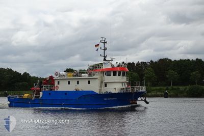
HE PING ZHI LU
Tanker B
Current Trip
| Time Travelled | 29 days |
|---|---|
| Remaining Time | --- |
| Distance Travelled | 178.20 nm |
| Remaining Distance | --- |
| AVG Speed | 4.7 Knots |
| MAX Speed | 9.6 Knots |
| AVG Wind | 5.1 knots |
| MAX Wind | 12 knots |
| MIN Temp | 16.9°C / 62.42°F |
| MAX Temp | 28.1°C / 82.58°F |
| Dybgang | 5.2 m |
| Position Modtaget | 3 m siden |
Current Position
| Longitude | --- |
|---|---|
| Latitude | --- |
| Status | At anchor |
| Fart | |
| Kurs | 101° |
| Område | Gulf of Oman |
| Station | T-AIS |
| Position Modtaget | 3 m siden |
Info
Information
The current position of HE PING ZHI LU is in Gulf of Oman with coordinates 25.29037° / 56.48235° as reported on 2025-12-07 02:23 by AIS to our vessel tracker app. The vessel's current speed is 0 Knots
The vessel HE PING ZHI LU (IMO: 9556741, MMSI: 312869000) is a Tanker B It's sailing under the flag of [BZ] Belize.
In this page you can find informations about the vessels current position, last detected port calls, and current voyage information. If the vessels is not in coverage by AIS you will find the latest position.
The current position of HE PING ZHI LU is detected by our AIS receivers and we are not responsible for the reliability of the data. The last position was recorded while the vessel was in Coverage by the Ais receivers of our vessel tracking app.
The current draught of HE PING ZHI LU as reported by AIS is 5.2 meters
Weather
| Temperature | 24.5°C / 76.1°F |
|---|---|
| Wind Speed | 4 knots |
| Direction | 120° ESE |
| Pressure | 1019.4 hPa |
| Humidity | 57.4 % |
| Cloud Coverage | 4 % |
Featured Company
Events
| Tid | Hændelsen | Detaljer | Position / Dest | Info |
|---|---|---|---|---|
| 2025-12-05 14:14 | STOP Sejllads | 7.73 nm, South East of KHORFAKKAN |
25.29011 / 56.48300
FUJAIRAH-A
|
Fart: 0.3 kn Kurs: 32° |
| 2025-12-05 14:05 | Status er ændret | At anchor Under way using engine |
25.28873 / 56.48315
FUJAIRAH-A
|
Fart: 1.6 kn Kurs: 0° |
| 2025-12-05 12:46 | Status er ændret | Under way using engine Moored |
25.19684 / 56.49590
FUJAIRAH-A
|
Fart: 3.2 kn Kurs: 324° |
| 2025-12-05 12:41 | START Sejllads | 7.58 nm, East of FUJAIRAH |
25.19373 / 56.49445
FUJAIRAH-A
|
Fart: 3.1 kn Kurs: 72° |
| 2025-12-05 07:40 | Status er ændret | Moored Under way using engine |
25.19547 / 56.49317
FUJAIRAH-A
|
Fart: Kurs: 190° |
| 2025-12-05 07:25 | STOP Sejllads | 7.53 nm, East of FUJAIRAH |
25.19524 / 56.49298
FUJAIRAH-A
|
Fart: 0.3 kn Kurs: 165° |
| 2025-12-05 06:00 | START Sejllads | 8.97 nm, East of FUJAIRAH |
25.14809 / 56.52885
FUJAIRAH-A
|
Fart: 3.1 kn Kurs: 317° |
| 2025-12-05 04:28 | Status er ændret | Under way using engine At anchor |
25.14718 / 56.53236
FUJAIRAH-A
|
Fart: Kurs: 138° |
| 2025-12-04 16:43 | Indenfor Dækning |
25.14613 / 56.53247
Gulf of Oman
|
Fart: Kurs: 113.4° |
|
| 2025-12-04 15:25 | Udenfor Dækning |
25.14607 / 56.53255
Gulf of Oman
|
Fart: 0.4 kn Kurs: 160.7° |